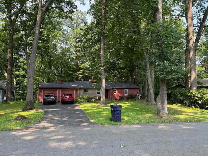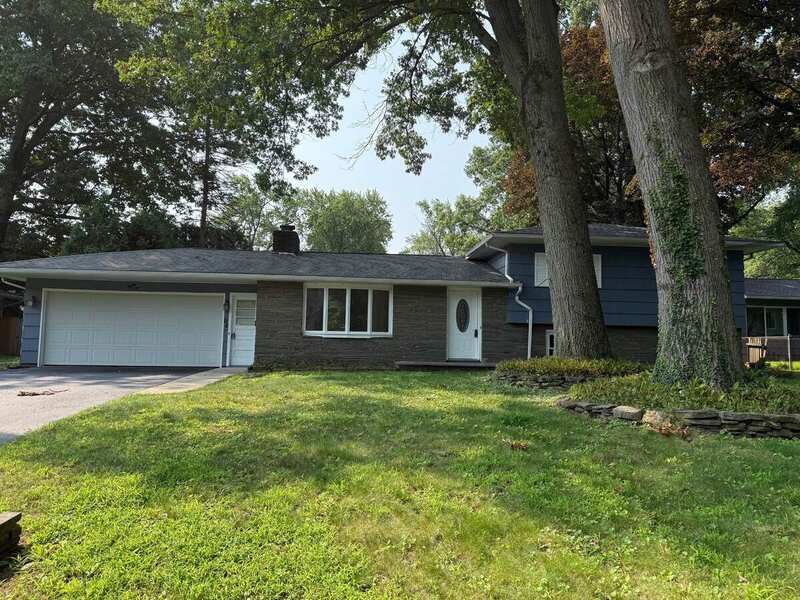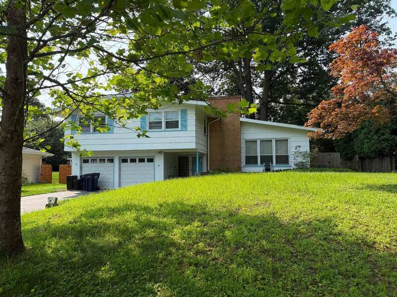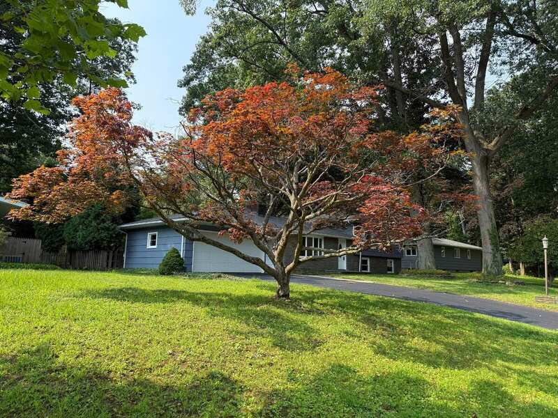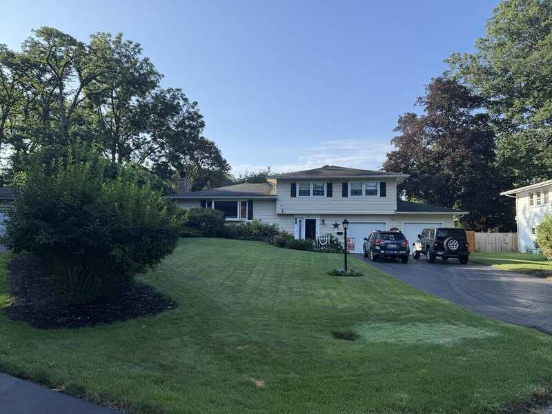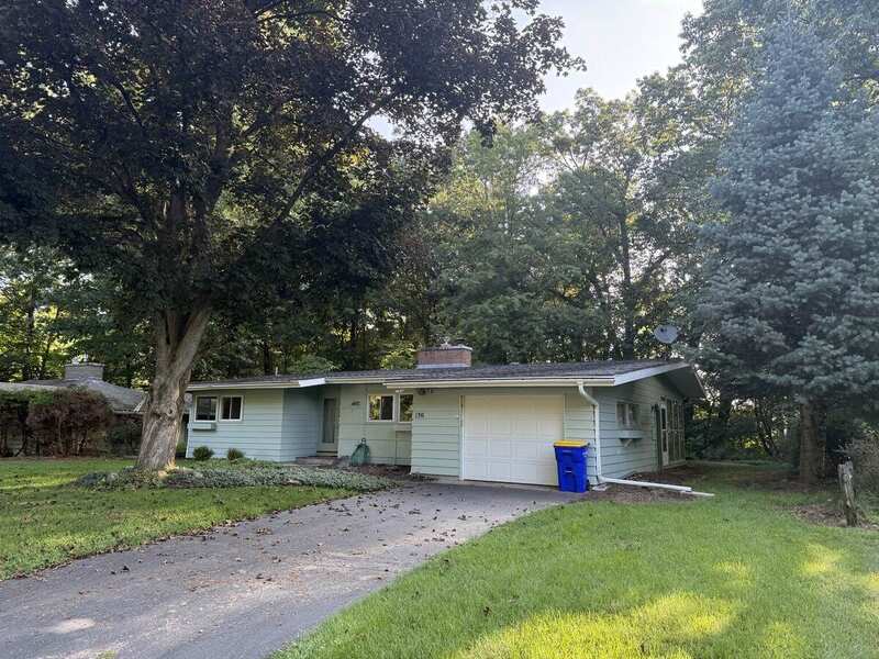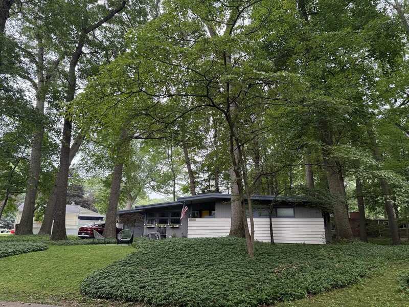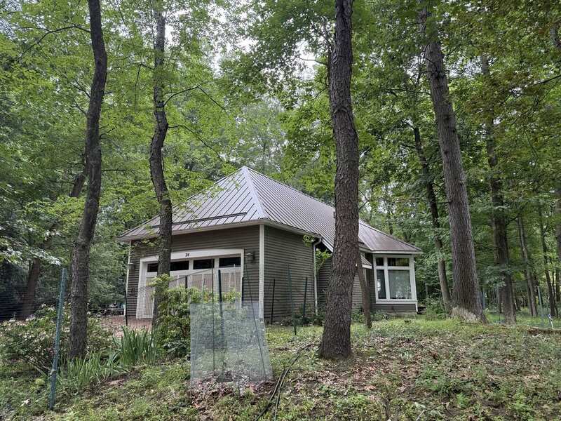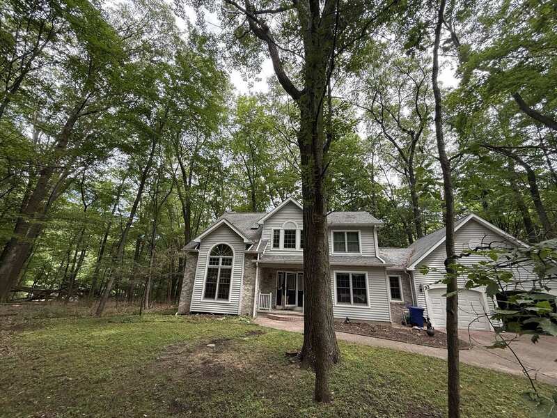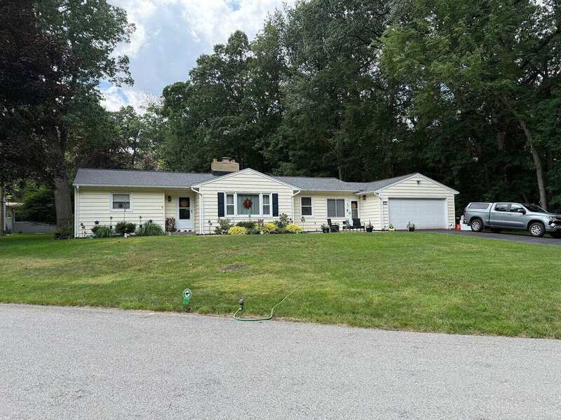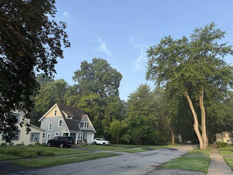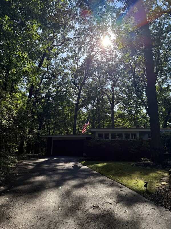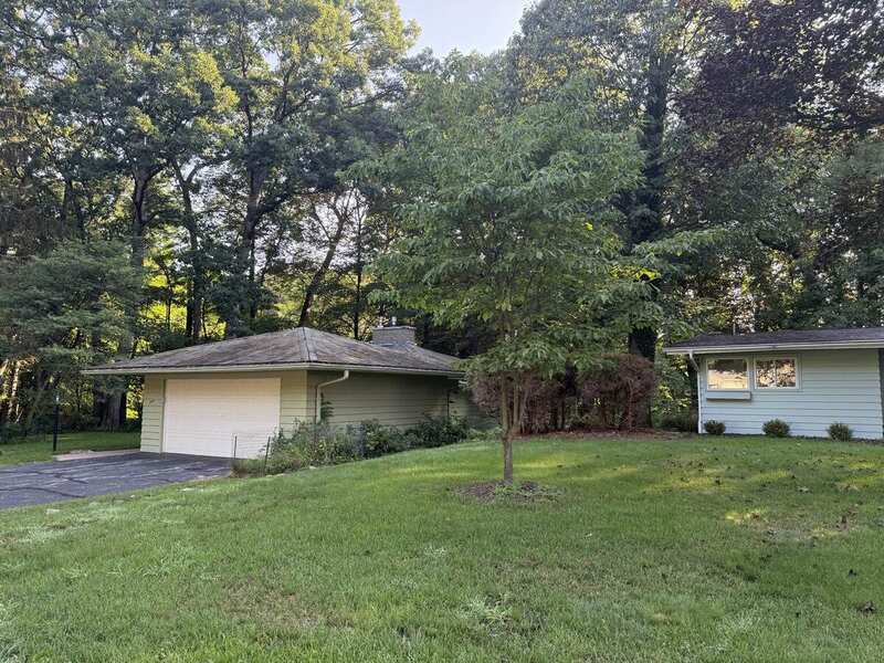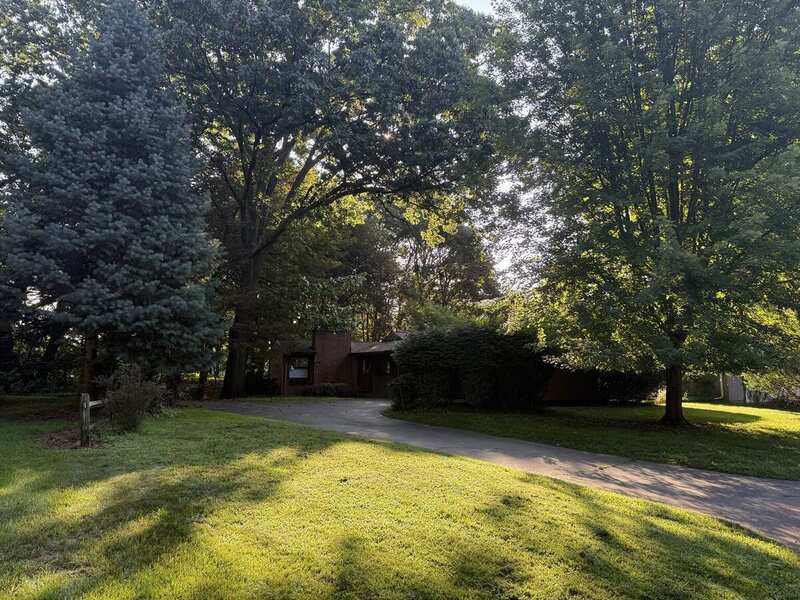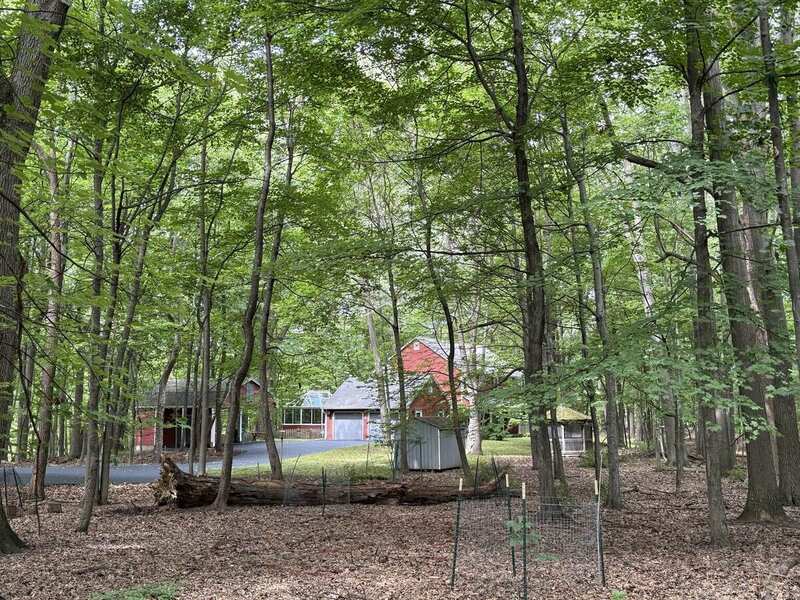
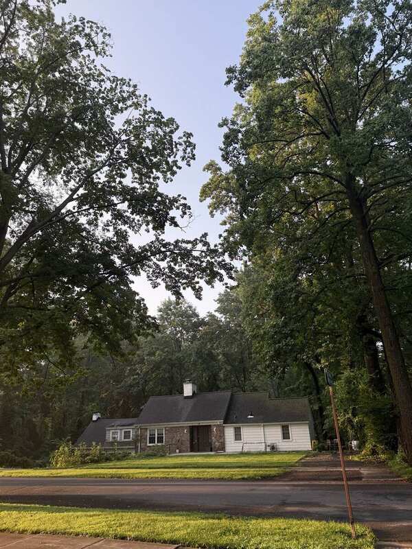
Field view associated with 2 Woodland Circle emphasizing wooded ground, canopy enclosure, and building context

Irondequoit / Rochester, New York · August 2026

Neighborhood
Atlas

Seeing
Closely spaced trunks and leaf-covered ground create a nearly forested street frontage.
Siting
Open — camera position not recorded.
Provenance
Woodland Circle · 15 Aug 2026 · address from field note, not visible in frame.
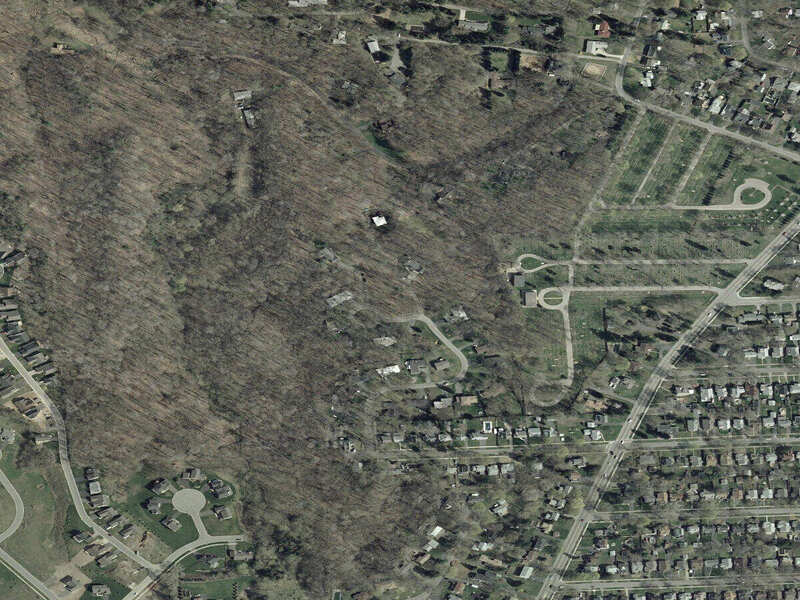
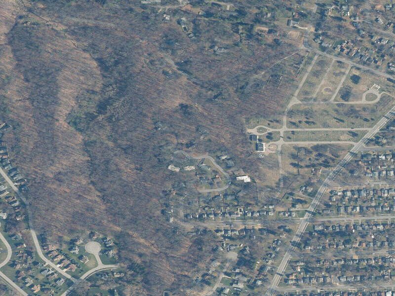
Public basemap · street geometry + visible building footprints · no private location layer added
Place introduction · relationship to space

The loop, the graveyard, the woods.

Eastwood bends north from Owaissa beside the cemetery grounds and wooded edge. The public basemap keeps the real street curves and building shapes visible without adding a household-level position.

Map content and building shapes come from the public Google basemap. Green space is orientation context; it does not prove ownership, boundary, canopy condition, or access. No resident data, route, or current-location marker is added.
1 · The Question

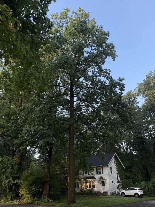
These neighboring streets do not read the same.

One can feel open and lawn-dominated. Another can feel almost forested.

The difference is visible. Its cause is not established.

The project is looking at development history, lot geometry, tree planting and removal, terrain, and other evidence to understand why.

“The canopy difference is an observed pattern with no established cause.”

Who this is forMade for the people who live here—and as an example of how a neighborhood can be mapped without turning its residents into public data.Photography · field observation · public records · measured sources · uncertainty kept visible

2.1 · The Streets / Where

Three streets inside a larger landscape.

The address directory, live map, and compass continue the orientation introduced above—then open into the individual records.
Quick lookup47 public address recordsShow / hide

Tap a number for build year, public structure facts, matched Atlas photographs, and source links. No resident names, contact information, household notes, or routines.

1920s1930s1940s1950s1960s1970s1980s1990s2000s2010sYear open
Owaissa Drive22 addresses
Eastwood Trail17 addresses
Woodland Circle8 addresses

Structure fact 1 Photo count · tile color shows build decade

Photo catalog32 public field photographsBrowse / tuck away

Every retained public field photograph. Address links follow recorded files or field notes; uncertain and context-only frames stay unassigned.

17 Owaissa / canopy
01 / 3217 Owaissa / canopy13 Aug · Field-record link

Number not visible in frame.

31 Owaissa / shade
02 / 3231 Owaissa / shade13 Aug · Field-record link

Number not visible in frame.

32 Owaissa / front
03 / 3232 Owaissa / front13 Aug · Number visible

Dedicated field reference.

64 Owaissa / open frontage
04 / 3264 Owaissa / open frontage13 Aug · Field-record link

Number not visible in frame.

97 Owaissa / side lawn
05 / 3297 Owaissa / side lawn13 Aug · Field-record link

Number not visible in frame.

47 Eastwood / house
06 / 3247 Eastwood / house12 Aug · Recorded file label

Legacy reference retained.

56 Eastwood / front
07 / 3256 Eastwood / front12 Aug · Recorded file label

Legacy reference retained.

84 Eastwood / house
08 / 3284 Eastwood / house12 Aug · Recorded file label

Legacy reference retained.

96 Eastwood / house
09 / 3296 Eastwood / house12 Aug · Recorded file label

Legacy reference retained.

96 Eastwood / tree
10 / 3296 Eastwood / tree12 Aug · Recorded file label

Tree-context companion frame.

106 Eastwood / front
11 / 32106 Eastwood / front15 Aug · Number visible

Dedicated field reference.

110 Eastwood / canopy
12 / 32110 Eastwood / canopy15 Aug · Number visible

Dedicated field reference.

120 Eastwood / canopy
13 / 32120 Eastwood / canopy12 Aug · Recorded file label

Legacy reference retained.

120 Eastwood / front
14 / 32120 Eastwood / front15 Aug · Dedicated frame

Later frontage view.

130 Eastwood / early
15 / 32130 Eastwood / early10 Aug · Recorded file label

First dated reference.

130 Eastwood / second
16 / 32130 Eastwood / second12 Aug · Recorded file label

Second dated reference.

130 Eastwood / front
17 / 32130 Eastwood / front15 Aug · Number visible

Third dated reference.

140 Eastwood / house
18 / 32140 Eastwood / house10 Aug · Recorded file label

Separate from unresolved wooded sequence.

2 Woodland / wooded
19 / 322 Woodland / wooded15 Aug · Field-record link

Number not visible in frame.

15 Woodland / front
20 / 3215 Woodland / front10 Aug · Recorded file label

Legacy reference retained.

25 Woodland / front
21 / 3225 Woodland / front10 Aug · Recorded file label

Legacy reference retained.

26 Woodland / front
22 / 3226 Woodland / front10 Aug · Recorded file label

Legacy reference retained.

32 Woodland / canopy
23 / 3232 Woodland / canopy15 Aug · Number visible

Dedicated field reference.

35 Woodland / house
24 / 3235 Woodland / house10 Aug · Recorded file label

Legacy reference retained.

Owaissa / bamboo
25 / 32Owaissa / bamboo13 Aug · Context only

Near 57; proximity is not ownership.

Woodland / probable 5
26 / 32Woodland / probable 514 Aug · Probable · unassigned

Number not visible; address remains open.

Eastwood / side yard
27 / 32Eastwood / side yard15 Aug · Context only

Nearby structure deliberately unassigned.

Eastwood / wooded 1
28 / 32Eastwood / wooded 115 Aug · Unresolved sequence

Frame 1 of 3; no property assignment.

Eastwood / wooded 2
29 / 32Eastwood / wooded 215 Aug · Unresolved sequence

Frame 2 of 3; no property assignment.

Eastwood / wooded 3
30 / 32Eastwood / wooded 315 Aug · Unresolved sequence

Frame 3 of 3; no property assignment.

Unidentified / house
31 / 32Unidentified / house10 Aug · Open · unassigned

No address guessed from visual similarity.

Window observation / deer
32 / 32Window observation / deer17 Aug · Siting withheld

Exact household-level camera position withheld.

Development chronology

When the recorded homes were built.

44 of 47 build years recorded · 3 remain open

1920s6 records
1930s5 records
1940s4 records
1950s20 records
1960s4 records
1980s2 records
1990s2 records
2010s1 records

Recorded source · linked Realtor property pages, checked 9–10 Aug 2026. Official Monroe County verification remains open.

Homes / Property research

The full public structure record.

Secondary layer · public facts only

Expand a street for the complete working records. Owner names, values, taxes, financing, and resident information remain excluded.

Owaissa Drive22 working records
Eastwood Trail17 working records
Woodland Circle8 working records

Third-party listing photographs are not reproduced. Blanks remain open; they are not zeros.

Continue to satellite history + development over time ↓
Neighborhood compass

What lies in each direction?

Orientation, not turn-by-turn instruction. Directions begin at the public Owaissa Drive / Eastwood Trail intersection—not a private home.

NLake OntarioPublic lake edge · directions ↗NEIrondequoit BayBay water + public park · directions ↗NWThe woodsDurand Eastman Park trails · directions ↗LOCALWoodland CircleInside the three-street atlas · directions ↗WPublic Library1290 Titus Avenue · directions ↗

Bearings are approximate · public map routes may change · orientation diagrams are not measured geometry

2.2 · The Streets / Walking

Walking sequence, not property directory.

Photography is organized by conditions seen from public ground. Addresses appear quietly as provenance where they help, never as household claims.
01

Owaissa Drive

Open ground and large mature crowns recur, but the street is not uniform.

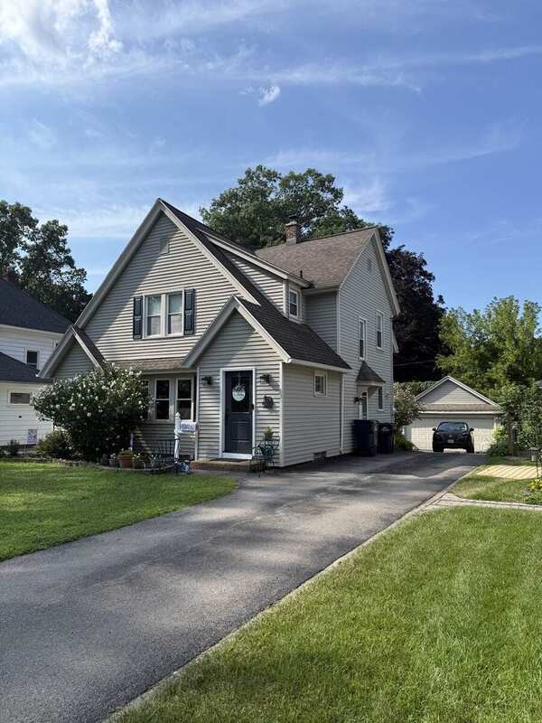
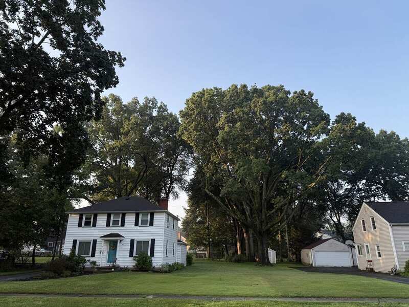
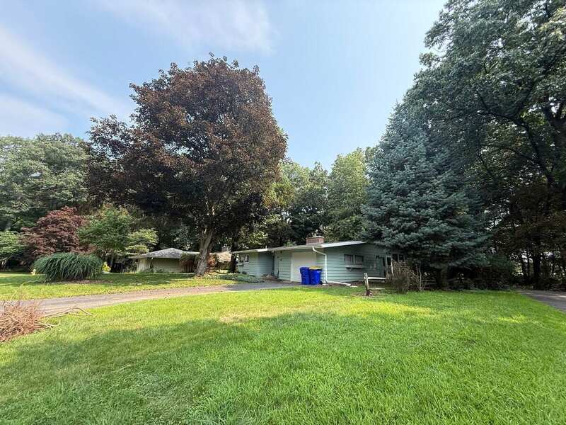
Field photograph of side lawn, mature tree form, and building context associated with 97 Owaissa Drive
Seeing
Broad open ground and a large mature crown reveal a more open condition within Owaissa.
Siting
Open — camera position not recorded.
Provenance
Owaissa Drive · 13 Aug 2026 · address from field record, not visually confirmed.
Field photograph of mature trees, shaded lawn, and building context associated with 31 Owaissa Drive
Seeing
Mature trees and shaded lawn fill the foreground; the building sits well back from the street edge.
Siting
Open — camera position not recorded.
Provenance
Owaissa Drive · 13 Aug 2026 · address from field record, not visually confirmed.
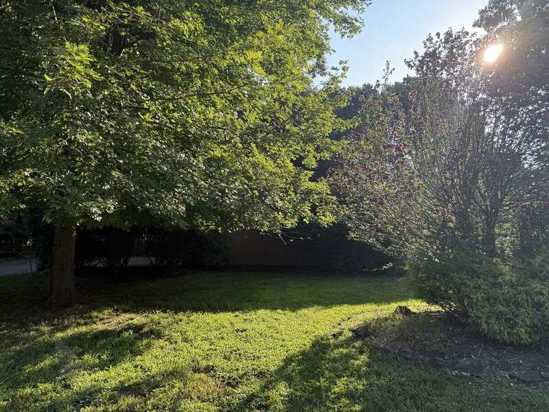
Wide field view near 57 Owaissa Drive emphasizing a bamboo grove, canopy, and the open-versus-wooded street edge
Seeing
A dense bamboo grove meets open lawn and the public street edge.
Siting
Open — camera position not recorded.
Provenance
Owaissa Drive area · 13 Aug 2026 · landscape context, not a household claim.
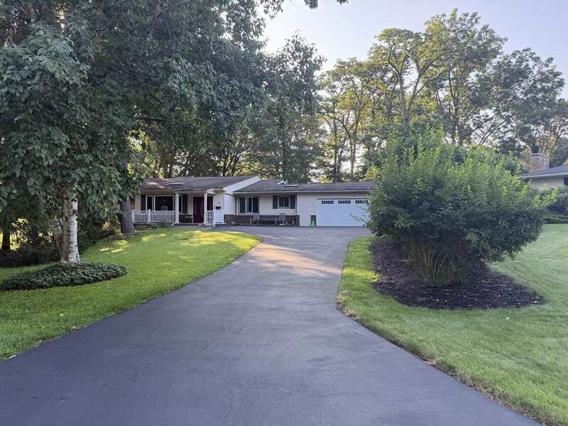
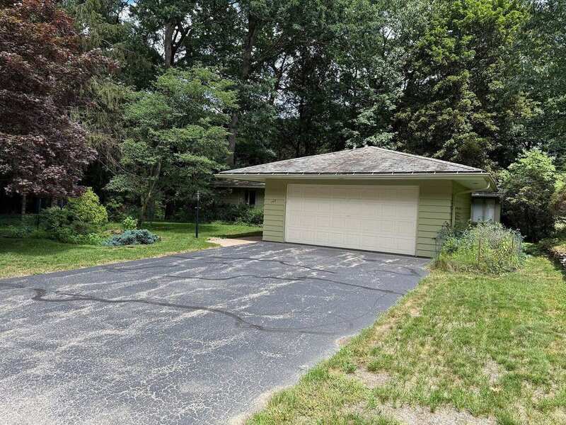
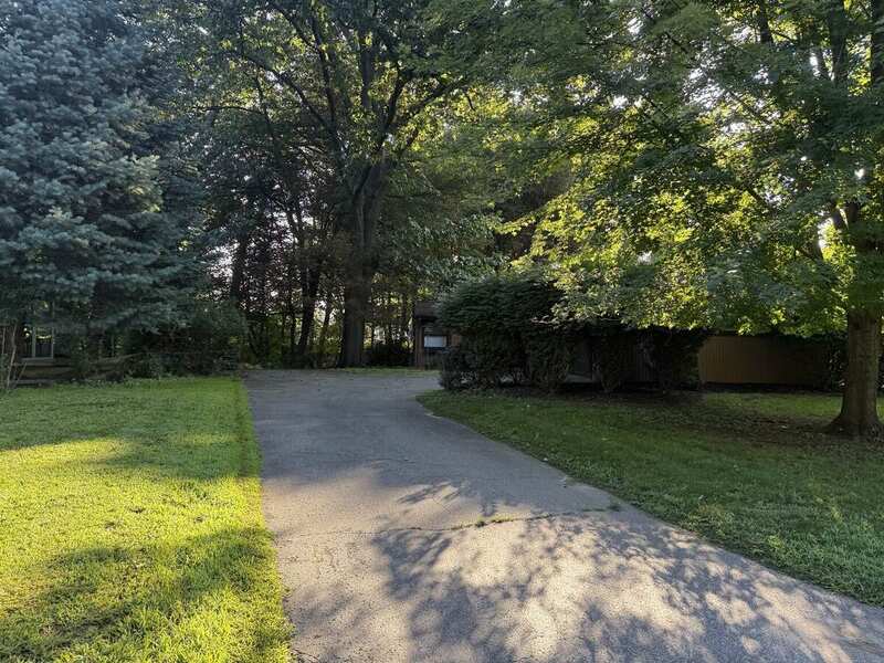
Dedicated field photograph of driveway, open lawn, canopy, and building setback associated with 64 Owaissa Drive
Seeing
Driveway and open lawn make the frontage and setback legible beneath a lighter canopy edge.
Siting
Open — camera position not recorded.
Provenance
Owaissa Drive · 13 Aug 2026 · address from field record, not visually confirmed.
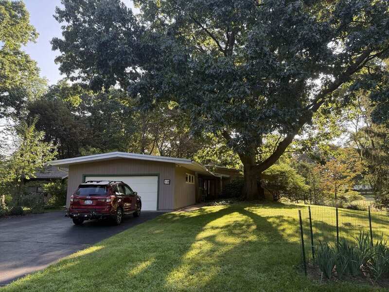
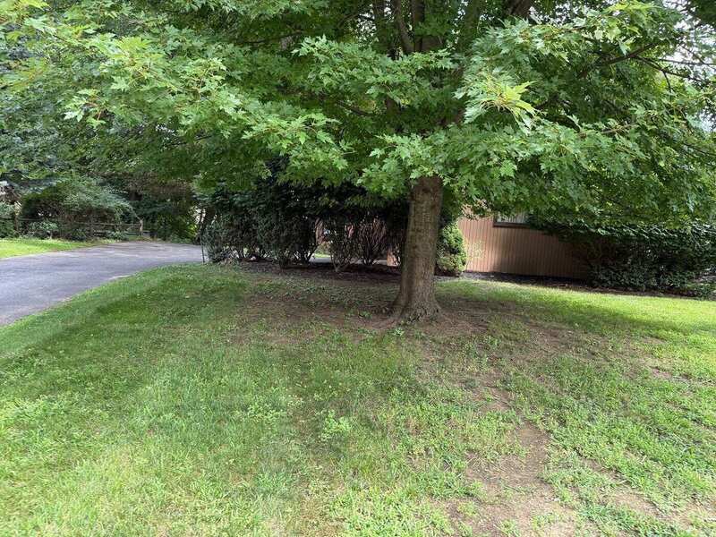
Field photograph of the front, lawn, mature canopy, and setback at 32 Owaissa Drive
Seeing
Open lawn sits beneath a mature crown, with the building set back from the public street edge.
Siting
Open — camera position not recorded.
Provenance
32 Owaissa Drive · 13 Aug 2026 · number visible in field source.
Field photograph of mature canopy, shaded frontage, and building setback associated with 17 Owaissa Drive
Seeing
Tall trunks and overlapping crowns create a shaded frontage and frame the building setback.
Siting
Open — camera position not recorded.
Provenance
Owaissa Drive · 13 Aug 2026 · address from field record, not visually confirmed.
02

Eastwood Trail

Broad lawns, shaded driveways, and deeper canopy conditions appear within one street.

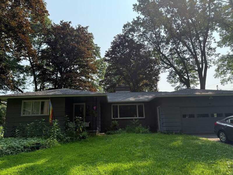
Cropped field view of mature canopy, shaded lawn, driveway edge, and building setback at 110 Eastwood Trail
Seeing
A broad mature crown shades the lawn and frames the building setback.
Siting
Open — camera position not recorded.
Provenance
110 Eastwood Trail · 15 Aug 2026 · number visible in field source.
Cropped field view of open lawn, frontage, mature trees, and building setback at 106 Eastwood Trail
Seeing
Open lawn, mature trees, and a deep setback make the frontage read broadly.
Siting
Open — camera position not recorded.
Provenance
106 Eastwood Trail · 15 Aug 2026 · number visible in field source.
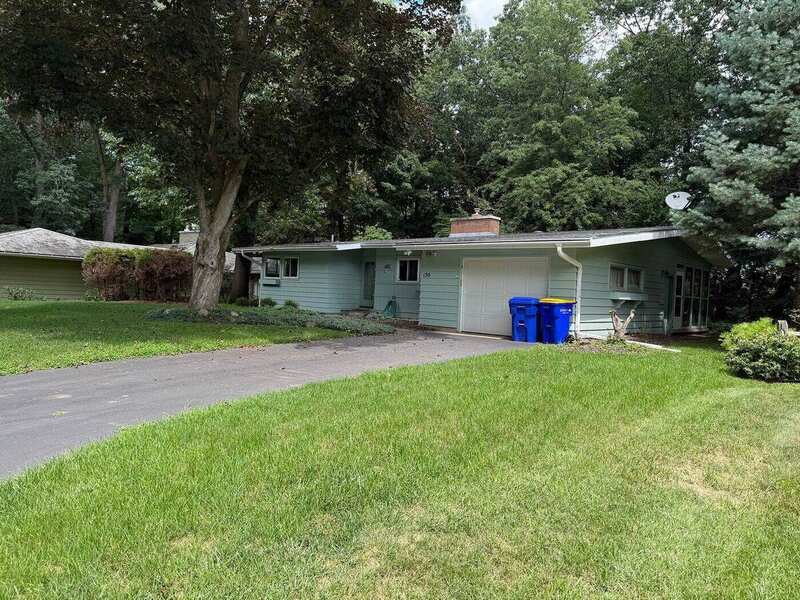
Field view of mature trees, driveway, frontage, and building setback at 130 Eastwood Trail
Seeing
Mature tree form and a shaded driveway define the frontage and building setback.
Siting
Open — camera position not recorded.
Provenance
130 Eastwood Trail · 15 Aug 2026 · number visible in field source.
Field view of driveway, open lawn, canopy, and building setback at 120 Eastwood Trail
Seeing
Driveway, open lawn, and canopy divide the frontage into distinct bands.
Siting
Open — camera position not recorded.
Provenance
120 Eastwood Trail · 15 Aug 2026 · dedicated field photograph.
Field view of side-yard ground, mature canopy, and a nearby building at Eastwood 130
Seeing
Side ground opens beneath mature canopy beside a nearby building.
Siting
Open — camera position not recorded.
Provenance
Eastwood Trail · 15 Aug 2026 · context only; neighboring structure unassigned.
03

Woodland Circle

Closely spaced trunks and wooded ground often give the circle a more enclosed reading.

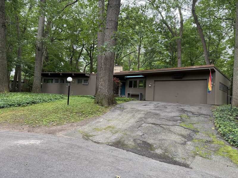
Field view associated with 2 Woodland Circle emphasizing wooded ground, canopy enclosure, and building context
Seeing
Closely spaced trunks and leaf-covered ground create a nearly forested street frontage.
Siting
Open — camera position not recorded.
Provenance
Woodland Circle · 15 Aug 2026 · address from field note, not visible in frame.
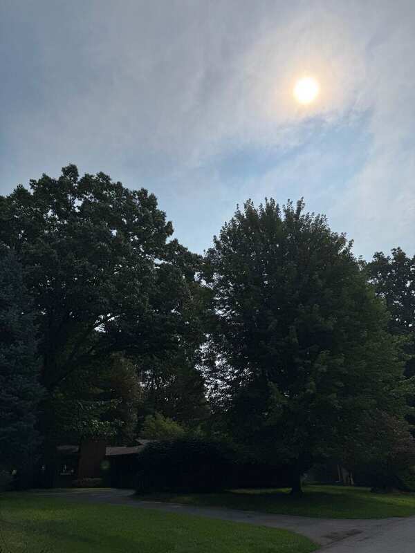
Dark field view of a wooded driveway, canopy, and building context probably associated with 5 Woodland Circle
Seeing
A shaded driveway and dense overhead canopy create an enclosed approach.
Siting
Open — camera position not recorded.
Provenance
Woodland Circle · 14 Aug 2026 · probable address; number not visible.
Field photograph of wooded ground, mature canopy, driveway edge, and building front at 32 Woodland Circle
Seeing
Mature trunks, wooded ground, and a driveway approach frame the building setback.
Siting
Open — camera position not recorded.
Provenance
32 Woodland Circle · 15 Aug 2026 · number visible in field source.
04

Culver Road edge

Culver functions as a reference edge, showing how the quieter neighborhood interior meets the larger road corridor. A four-frame public-ground gateway group dated 13 Aug is located in the Drive archive. The separately logged 16 Aug Culver / Owaissa crossing file is not present in that folder, so no substitute image is assigned here.

Recorded · source located
Image transfer open

3 · Comparisons

Difference without cause.

Each pair holds image size steady and changes only what the photographs show.
01

Open / wooded

Field photograph of side lawn, mature tree form, and building context associated with 97 Owaissa DriveField view associated with 2 Woodland Circle emphasizing wooded ground, canopy enclosure, and building context
Seeing
Broad open ground and a large mature crown reveal a more open condition within Owaissa.
Siting
Open — camera position not recorded.
Provenance
Owaissa Drive · 13 Aug 2026 · address from field record, not visually confirmed.
Seeing
Closely spaced trunks and leaf-covered ground create a nearly forested street frontage.
Siting
Open — camera position not recorded.
Provenance
Woodland Circle · 15 Aug 2026 · address from field note, not visible in frame.

Broad open ground and a large crown on Owaissa sit against closely spaced trunks and enclosed ground on Woodland. The difference is visible; its cause is not established.

02

Same street, different condition

Cropped field view of mature canopy, shaded lawn, driveway edge, and building setback at 110 Eastwood TrailCropped field view of open lawn, frontage, mature trees, and building setback at 106 Eastwood Trail
Seeing
A broad mature crown shades the lawn and frames the building setback.
Siting
Open — camera position not recorded.
Provenance
110 Eastwood Trail · 15 Aug 2026 · number visible in field source.
Seeing
Open lawn, mature trees, and a deep setback make the frontage read broadly.
Siting
Open — camera position not recorded.
Provenance
106 Eastwood Trail · 15 Aug 2026 · number visible in field source.

A shaded lawn beneath a broad crown sits against a more open frontage and setback. Eastwood is not one uniform landscape condition.

03

Driveway / canopy

Dark wooded driveway and canopy field view provisionally logged as probable 140 EastwoodDedicated field photograph of driveway, open lawn, canopy, and building setback associated with 64 Owaissa Drive
Seeing
A wooded driveway passes beneath overlapping crowns and deep shade.
Siting
Open — camera position not recorded.
Provenance
Eastwood Trail · 15 Aug 2026 · sequence-based address remains unresolved.
Seeing
Driveway and open lawn make the frontage and setback legible beneath a lighter canopy edge.
Siting
Open — camera position not recorded.
Provenance
Owaissa Drive · 13 Aug 2026 · address from field record, not visually confirmed.

A wooded Eastwood driveway is more enclosed than the open lawn and lighter canopy edge recorded on Owaissa. The Eastwood address remains unresolved.

04

Street edge

Wide field view near 57 Owaissa Drive emphasizing a bamboo grove, canopy, and the open-versus-wooded street edgeField photograph of the front, lawn, mature canopy, and setback at 32 Owaissa Drive
Seeing
A dense bamboo grove meets open lawn and the public street edge.
Siting
Open — camera position not recorded.
Provenance
Owaissa Drive area · 13 Aug 2026 · landscape context, not a household claim.
Seeing
Open lawn sits beneath a mature crown, with the building set back from the public street edge.
Siting
Open — camera position not recorded.
Provenance
32 Owaissa Drive · 13 Aug 2026 · number visible in field source.

Dense bamboo at the street edge contrasts with open lawn beneath a mature crown. Both are Owaissa conditions; neither establishes a cause.

Canopy / open ground plate

Owaissa

Not yet drawn from measured geometry.

Canopy / open ground plate

Eastwood

Not yet drawn from measured geometry.

Canopy / open ground plate

Woodland

Not yet drawn from measured geometry.

Future plate rule · solid dark = measured canopy mass · white = unclaimed / open / not represented · hairline = road geometry. White does not automatically mean lawn.

4 · Records

The documentary layer.

The Atlas speaks to the space first, then follows its development through aerial time, public-tree evidence, measurement, ground, water, and field records.
4.1

Development over time

Satellite timeline + overlay desk

After reading the space, move through seven source years and place any two frames together. The overlay is a research instrument, not proof that every visible difference is physical change.

Historical aerial source image from 2002
Historical aerial source image from 2023
20022023
What this can show

Differences between source frames that may guide a closer check of roads, building footprints, open ground, and canopy.

What remains open

Whether a visible difference is physical change, alignment, resolution, season, leaf state, shadow, or another source condition.

All seven source framesOpen / tuck away

Visible difference is not automatically landscape change. Resolution, season, leaf state, shadows, and interpretation must travel with every comparison.

Signals crossing this ground

Different ways of seeing what moves between the trees.

Satellite images record reflected light from above. Seven Rochester-area radio signals pass through the same canopy from beyond the study area. Both make the neighborhood legible through instruments, distance, and changing conditions.

Station names and descriptions checked 10 Aug 2026 · reception changes with radio, building, weather, canopy, and transmitter conditions

4.2

Claimed Canopy / public trees

Records and field observation stay separate

Never turn “not in inventory” into “private tree.”

A Town inventory can support a Town record claim. It cannot make an aerial photograph prove ownership or a property boundary. TreeKeeper retrieval by street segment remains open.

10,000+Trees the Town says it maintains along roadways
10–15 ftApproximate sidewalk-based right-of-way guidance—not a surveyed boundary
3 questionsTown claim · trunk position · maintenance responsibility
0 rowsTown tree records retrieved for these streets so far
Town-claimed

Appears in the Town inventory as a Town tree.

Town-claimed site

A vacant planting site appears in the Town record.

Not in inventory

Ambiguous: private tree or inventory gap.

Observed only

Photographed; Town record not yet checked.

Conflict

Town record and field observation disagree.

Next walk · about 90 seconds per tree

Make the tree record auditable.

  1. 01TrunkBase through first branch, square to the tree.
  2. 02ContextTrunk, pavement edge, and ground transition.
  3. 03CanopyCrown plus reachable leaf-and-twig detail.
  4. 04MeasurePaces to pavement · GPS accuracy · DBH hand spans.

Blocked: do not derive “private,” draw parcel lines, or render a right-of-way band until sidewalk and curb conditions are field-confirmed.

4.3

Measurement instrument

The old headline mark returns here as a working research graphic.

Measure only what the source can support.

The graphic no longer acts as a logo. Here it becomes an instrument: roads, plots, observation points, and measurement ticks held inside one fixed frame.

47Working address records
32Public field photographs
7Aerial source years
0Town tree rows retrieved
Register 01

Frame

Fix study extent, scale, orientation, and source date before comparing.

Required
Register 02

Distance

Record the tool, units, start point, end point, and uncertainty.

Next walk
Register 03

Canopy

Do not substitute visual fullness for measured canopy geometry.

Open
Register 04

Tree

Keep identification, trunk position, inventory status, and care responsibility separate.

In progress
High-contrast street guide

Walk the form. Check the evidence.

Street order and simple form only. No household directory, parcel geometry, or guessed right-of-way line.

N ↑
01 / 03Owaissa Drive

Open curve toward Culver Road

N ↑
02 / 03Eastwood Trail

Looping edge and canopy sequence

N ↑
03 / 03Woodland Circle

Enclosed circle and wooded ground

Field checklist

One tree · four records

  1. 01Find the public contextStreet, pavement edge, sidewalk or no sidewalk.
  2. 02Photograph the sequenceTrunk · context · canopy · reachable detail.
  3. 03Record the measurementPaces · phone GPS accuracy · DBH hand spans.
  4. 04Assign evidence stateObserved · recorded · open · conflict.

The overhead linework is schematic orientation. It does not locate houses, residents, parcels, or public-tree ownership.

4.5

Field & Photo Records

Archive state and public clearance remain separate

Published photographs remain tied to their dated field provenance. Archived frames do not become public-ready merely because they exist.

Public photo catalog32

All retained field photographs are available through the quick-lookup catalog.

Observed · legacy references restored
16 Aug archive4 + 1 sequence

Eastwood 29; Eastwood / Woodland sign; Culver / Owaissa crossing; Owaissa entrance; and one three-frame bamboo sequence.

Archived · not reviewed
Bamboo register3 frames / 1 sequence

A substantial bamboo stand is visible near Owaissa 57. Ownership, origin, age, planting date, maintenance, and relationship to a parcel remain open.

Observed · proximity is not ownership

16 Aug frames are logged but not displayed: the canonical package contains no cleared public image assets. Blank beats guessed.

5 · Field Notes

Dated walks. Corrections attached.

Seeing leads; provenance follows. A sequence stays a sequence rather than becoming three unrelated property cards.

Owaissa frontage, bamboo edge, canopy, driveway, and open-ground observations.

Woodland wooded-driveway frame retained as a probable address, not a confirmed assignment.

Eastwood frontage pass; Woodland 2 and 32 added; Eastwood wooded-driveway sequence remains unresolved.

Seven archive slots logged. Frames remain held from public display pending clearance; bamboo remains one three-frame sequence.

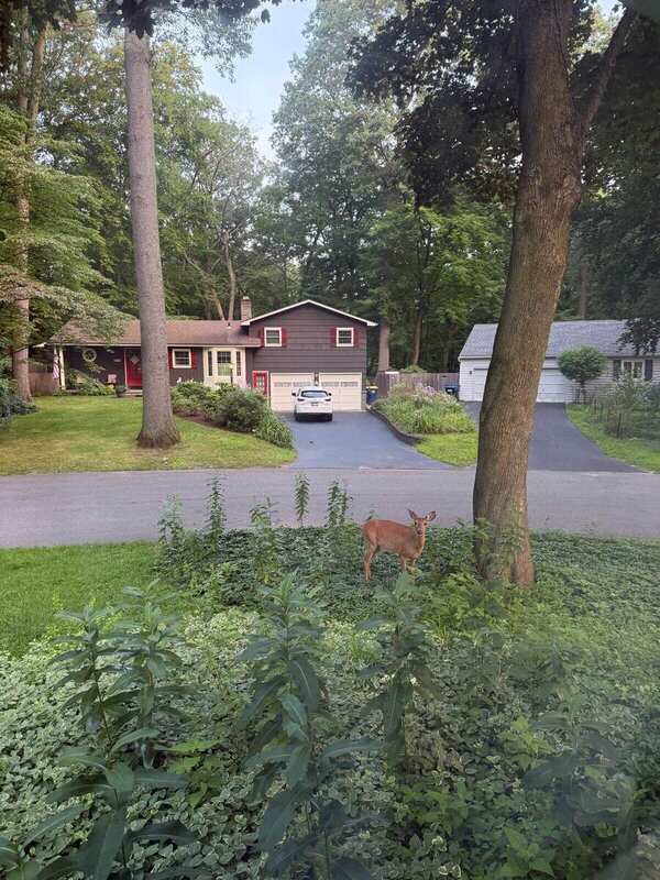
A deer standing among low groundcover beneath mature trees, seen across a residential street
Seeing
A deer stands among low groundcover beneath mature trunks across the street.
Siting
Inside the three-street study area; exact household-level camera position withheld.
Provenance
Window observation · 17 Aug 2026 · time not recorded.
Window note · 17 Aug 2026

A deer inside the ordinary morning view.

The frame adds an everyday wildlife observation to the Atlas without naming a household or turning the sighting into a claim about habitat, movement pattern, or recurrence.

Observed · exact household-level siting withheld
Field walk · 15 Aug 2026

Wooded driveway, Eastwood Trail

Three frames, one condition, one unresolved address.

Dark wooded driveway and canopy field view provisionally logged as probable 140 EastwoodSecond dark wooded driveway and canopy field view provisionally logged as probable 140 EastwoodThird dark wooded side-yard and canopy field view provisionally logged as probable 140 Eastwood
Seeing
A driveway enters deep shade beneath overlapping crowns; the sequence turns toward canopy enclosure and side ground.
Siting
Open — exact camera positions not recorded.
Provenance
Eastwood Trail · 15 Aug 2026 · three-frame sequence; address unresolved.

Field sequence suggests a single location, but no house number is visible.

Shared raven · neighbor observationR

A familiar presence, carefully described.

Neighbors describe a raven moving through the three-street study area. The Atlas keeps this as a shared observation—not a confirmed species identification, proof that each sighting is the same individual, or a household-level location.

Observed as “raven” · unverified
Species Watch · research in development

Look → Identify → Report → Act

No invasive species is claimed present without a documented field observation. Native look-alikes remain part of identification.

  1. LookPhotograph visible form and context.
  2. IdentifyKeep uncertainty and look-alikes visible.
  3. ReportUse the appropriate official channel.
  4. ActLeave · homeowner · professional · agency.

6 · Method & Ethics

Blank beats guessed.

Describe the ground, not the household.
Register 01

Measured

Geometry or quantity produced through a stated instrument and repeatable procedure.

Register 02

Vernacular

Resident-made knowledge kept with authorship, context, and permission.

Register 03

Described

What a photograph, walk, or source visibly and specifically records.

Observed

Direct field observation or photograph.

Recorded

A cited documentary source states it.

Open

Unresolved or under investigation.

Public property records may remain. Private resident data may not.

  • No resident names from the neighborhood directory.
  • No phone numbers, emails, routines, relationships, or household notes.
  • No private interview material or opt-in emergency information.
  • No third-party listing photographs without clear reuse rights.